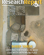
Aerial photographs, in addition to computer mapping technology, are being used to help farmers plan for the future. Run by the Department of Primary Industries and supported by the Corangamite Catchment...
Already have an account? Sign in here
Independent information for agriculture
Delivering high-value research and information on best practices to help improve farming productivity, efficiency and profitability.
- NEXT: Increasing tropical pasture quality
- PREVIOUS: Mixed weather bag for farmers


